Klik gambar untuk perbesar
Produk Digital
3D Space TopoLT
Belum ada ulasan ·
7 dilihat
Rp 77.500
Rp 350.000 -78%
PO 1 Hari Diproses penjual, dikirim maks 24 jam.
Pembayaran QRIS terverifikasi otomatis. Link download otomatis setelah lunas (email/WhatsApp).

Deskripsi
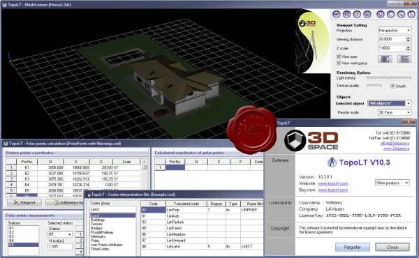
266 3D Space TopoLT v10.3.0.1 TopoLT is an application offering tools for 2D and 3D applications and functionalities useful for all those who design topographical or cadastral plans in digital format, who develop 3D terrain models and contours, fill and cut volumes calculation, raster image georeferencing and automatic printing. Application features: Show/Hide text - draws points directly from coordinate files, draws coordinates from total station or sends coordinates from drawing directly to total station; - point labels can be optimized so that there would be no overlapping between them or with the other entities placed near the point; - point codes are translated according to a codes interpretation file defined by the user; - points can be graphically drawn with or without elevations, elevations can also be obtained through interpolation; - points can be automatically intr.
Ulasan Produk
- dari 0 ulasan
Masuk dan beli produk ini untuk memberi ulasan.
Belum ada ulasan. Jadilah yang pertama!