Klik gambar untuk perbesar
Produk Digital
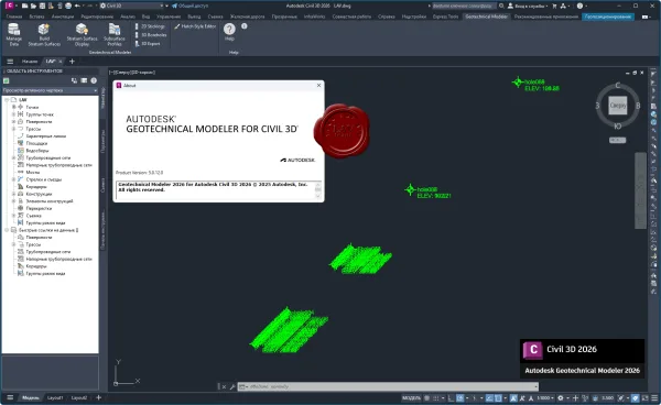
Autodesk Geotechnical Modeler for Civil 3D
Belum ada ulasan ·
13 dilihat
Rp 77.500
Rp 350.000 -78%
PO 1 Hari Diproses penjual, dikirim maks 24 jam.
Pembayaran QRIS terverifikasi otomatis. Link download otomatis setelah lunas (email/WhatsApp).

Deskripsi
Autodesk Geotechnical Modeler is a Civil 3D extension which enables you to visualize and analyze your geotechnical data directly within the Civil 3D environment. The Geotechnical Modeler provides tools to easily generate stratum surfaces, create subsurface visualizations of geotechnical data in profile views, and transpose profile information into a three-dimensional view. The workflows should be familiar to all users of Civil 3D software as the tool uses a variety of Civil 3D objects and styles. The flexibility of the tool empowers you to create and manage standard Civil 3D object types and styles including: COGO points, TINs, alignments, profiles, and profile views. The Geotechnical Modeler provides you with two options for connecting subsurface data to your Civil 3D projects: through the industry specific AGS file format option or using simple CSV files.
Ulasan Produk
- dari 0 ulasan
Masuk dan beli produk ini untuk memberi ulasan.
Belum ada ulasan. Jadilah yang pertama!