Klik gambar untuk perbesar
Produk Digital
GeoControl
Belum ada ulasan ·
12 dilihat
Rp 77.500
Rp 350.000 -78%
PO 1 Hari Diproses penjual, dikirim maks 24 jam.
Pembayaran QRIS terverifikasi otomatis. Link download otomatis setelah lunas (email/WhatsApp).

Deskripsi
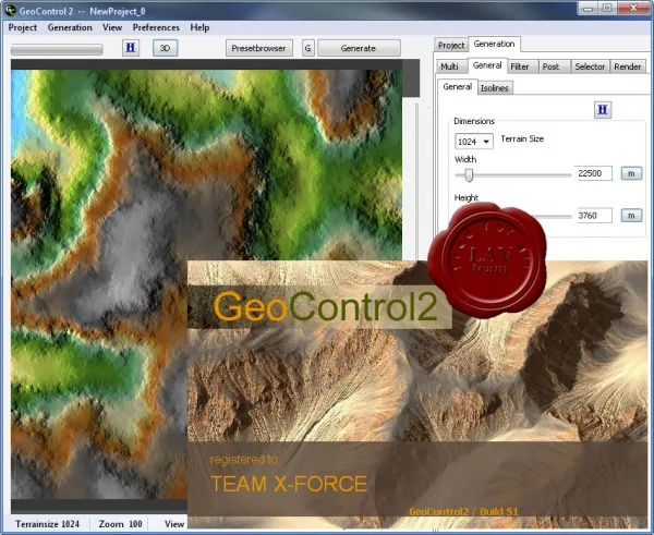
The GeoControl utility is designed to create virtual landscapes. Main features: GeoControl has two browser windows: the first is the “landscape window”, the second is the “filter window”; You can either create the landscape yourself or choose from ready-made frames. The new level control allows you to customize landscape levels using just the mouse. A dynamic erosion tool that allows you to create it at various stages of projects, which will subsequently affect the overall picture. There are three erosion control tools: standard (erosions are strictly limited by selections), placed (choices here determine where erosions start), weighted (choices here determine where erosions start and how severe they are). The brush tool (isolines) allows you to lower and raise individual parts of the landscape. Water creation tool. Thanks to it, you can create: rivers, lakes, glacier erosion,.
Ulasan Produk
- dari 0 ulasan
Masuk dan beli produk ini untuk memberi ulasan.
Belum ada ulasan. Jadilah yang pertama!