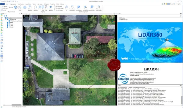
Klik gambar untuk perbesar
Produk Digital
GreenValley LiDAR360
Belum ada ulasan ·
14 dilihat
Rp 77.500
Rp 350.000 -78%
PO 1 Hari Diproses penjual, dikirim maks 24 jam.
Pembayaran QRIS terverifikasi otomatis. Link download otomatis setelah lunas (email/WhatsApp).

Deskripsi
202 GreenValley LiDAR360 v5.2.2 portable LiDAR360 is a software platform for processing and analyzing point clouds obtained using laser scanning, including algorithms for alignment, classification, visualization, editing, vectorization and integration with CAD/GIS. The program supports the use of artificial intelligence / machine learning for automatic classification of points (for example, separation of surfaces, vegetation, buildings, etc.) There are modules and extensions for various application areas: relief, forest cover, power lines, mining, urbanism, etc. Some areas of use of LiDAR360: Topographic survey (creation of digital surface models, contours). Silviculture: calculation of tree heights, biomass volumes, individual selection of trees. Infrastructure and utility networks: power line analysis, hazard detection. Horn.
Ulasan Produk
- dari 0 ulasan
Masuk dan beli produk ini untuk memberi ulasan.
Belum ada ulasan. Jadilah yang pertama!