Klik gambar untuk perbesar
Produk Digital
I-GIS GeoScene3D
Belum ada ulasan ·
20 dilihat
Rp 77.500
Rp 350.000 -78%
PO 1 Hari Diproses penjual, dikirim maks 24 jam.
Pembayaran QRIS terverifikasi otomatis. Link download otomatis setelah lunas (email/WhatsApp).

Deskripsi
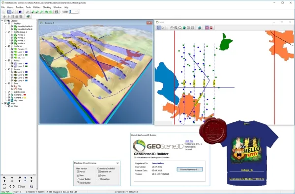
195 I-GIS GeoScene3D v10.0.13.574 GeoScene3D is a 3D Geological modelling software for visualizing geoscience data, building geological models in order to distribute the results to stakeholders. The software is well suited for geoscientists in public and private organizations working with engineering geology, groundwater, soil contamination or other tasks involving compilation and interpretation or visualization of a variety of data types. GeoScene3D enables visualization of a broad range of geoscience data. For example wells, geophysical data, soil and water chemistry, terrain surfaces and geological layers.Furthermore, it is also possible to build geological models using the software in a well-defined modelling process. From the manual, or semi-automated production of layer interpretation points, through the generation of layer surfaces using advanced interpolation techniques, to the f
Ulasan Produk
- dari 0 ulasan
Masuk dan beli produk ini untuk memberi ulasan.
Belum ada ulasan. Jadilah yang pertama!