Klik gambar untuk perbesar
Produk Digital
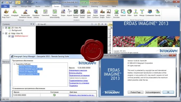
Intergraph ERDAS IMAGINE / LPS / ER Mapper
Belum ada ulasan ·
12 dilihat
Rp 77.500
Rp 350.000 -78%
PO 1 Hari Diproses penjual, dikirim maks 24 jam.
Pembayaran QRIS terverifikasi otomatis. Link download otomatis setelah lunas (email/WhatsApp).

Deskripsi
169 Intergraph ERDAS IMAGINE / LPS / ER Mapper 2013 ERDAS IMAGINE is the world leading geospatial data authoring system, incorporates geospatial image processing and analysis, remote sensing and GIS capabilities into a powerful, convenient package. It enables you to easily create value-added products such as 2D images, orthophoto mosaics, landcover classification, 3D flythrough movies, vectors derived from imagery, and cartographic-quality map compositions from geospatial data. LPS is a powerful photogrammetry system that delivers full analytical triangulation, the generation of digital terrain models, orthophoto production, mosaicking, and 3D feature extraction in a user-friendly environment that guarantees results even for photogrammetry novices. A workflow-oriented ribbon control presents tools from left to right in the order in which they are commonly used, and automated algorithms a
Ulasan Produk
- dari 0 ulasan
Masuk dan beli produk ini untuk memberi ulasan.
Belum ada ulasan. Jadilah yang pertama!