Klik gambar untuk perbesar
Produk Digital
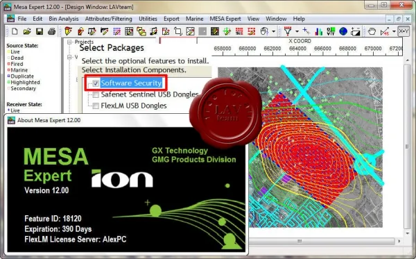
Ion Geophysical / GMG MESA Expert
Belum ada ulasan ·
6 dilihat
Rp 77.500
Rp 350.000 -78%
PO 1 Hari Diproses penjual, dikirim maks 24 jam.
Pembayaran QRIS terverifikasi otomatis. Link download otomatis setelah lunas (email/WhatsApp).

Deskripsi
922 Ion Geophysical / GMG MESA Expert v12.00 MESA is the industry standard survey design software for 2D, 3D, 4D and multi-wavelength surveys. MESA allows you to develop scenarios for field work in transition (transit) zones and when recording data in mixed mode. MESA allows you to simulate and track the most complex surveys. MESA allows you to design a network of source and reception points and 'shoot' the survey, and then analyze attributes such as fold distribution, offsets and azimuths. The program can also be used to analyze migration aperture, observation density, line spacing, and calculate many other parameters important for sufficient illumination of target objects. The MESA software package has the following levels: MESA Field - designed to meet everyday needs when performing field work. All functions available, no.
Ulasan Produk
- dari 0 ulasan
Masuk dan beli produk ini untuk memberi ulasan.
Belum ada ulasan. Jadilah yang pertama!