Klik gambar untuk perbesar
Produk Digital
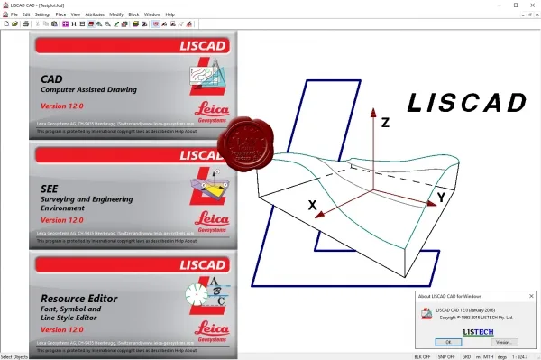
Leica LISCAD
Belum ada ulasan ·
7 dilihat
Rp 77.500
Rp 350.000 -78%
PO 1 Hari Diproses penjual, dikirim maks 24 jam.
Pembayaran QRIS terverifikasi otomatis. Link download otomatis setelah lunas (email/WhatsApp).

Deskripsi
944 Leica LISCAD v12.0 Leica LISCAD software is designed for surveyors and prospectors to process raw data and obtain results in the desired form. This software is used for subsequent processing of geodetic measurements obtained during field surveys using instruments from most well-known manufacturers, primarily Leica Geosystems. Data from any survey instrument can be very easily imported and turned into final reporting materials. New Features in LISCAD 12.0: Show / Hide text Some of the new features include: Extend or Trim Lines - Select any two lines to create new point(s) at, or move their end point(s) to, the lines' extended or trimmed intersection. Also optionally creates or moves the points on each line's grade. Find and Report Polygon Hiatus and Overlap - New Computations command Find Polygon Overlap.. (and Hiatus) allows.
Ulasan Produk
- dari 0 ulasan
Masuk dan beli produk ini untuk memberi ulasan.
Belum ada ulasan. Jadilah yang pertama!