Klik gambar untuk perbesar
Produk Digital
nanosoft Point Clouds / 3DScan
Belum ada ulasan ·
28 dilihat
Rp 77.500
Rp 350.000 -78%
PO 1 Hari Diproses penjual, dikirim maks 24 jam.
Pembayaran QRIS terverifikasi otomatis. Link download otomatis setelah lunas (email/WhatsApp).

Deskripsi
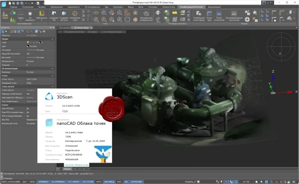
592 nanosoft Point Clouds (rus) / 3DScan (eng) v24.0 nanoCAD Point Clouds is a platform for processing 3D scanning data and solving engineering and information problems in the field of geodesy, mechanical engineering, construction, infrastructure and metrological monitoring. Tasks: preliminary analysis and processing of 3D scanning results; classification and segmentation of point clouds; creation of DEM/DEM; layer-by-layer vectorization and construction of floor plans; search for elementary geometric shapes and complex technological systems; calculation of areas and volumes; search for geometric collisions; three-dimensional modeling, including simulation; monitoring the technical condition of objects and the environmental situation.
Ulasan Produk
- dari 0 ulasan
Masuk dan beli produk ini untuk memberi ulasan.
Belum ada ulasan. Jadilah yang pertama!