Klik gambar untuk perbesar
Produk Digital
Pitney Bowes MapInfo Pro
Belum ada ulasan ·
11 dilihat
Rp 77.500
Rp 350.000 -78%
PO 1 Hari Diproses penjual, dikirim maks 24 jam.
Pembayaran QRIS terverifikasi otomatis. Link download otomatis setelah lunas (email/WhatsApp).

Deskripsi
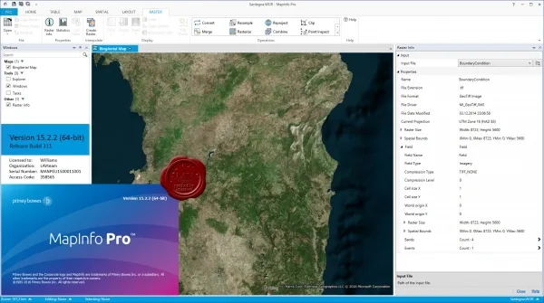
152 Pitney Bowes MapInfo v15.2.2.311 x64 PitneyBowes Software has released a new version of the geographic information system MapInfo Professional - a professional tool for creating, editing and analyzing cartographic and spatial information. MapInfo Professional is integrated as a client into server-based distributed information systems: MS SQL, Oracle, Informix, DB2, Sybase, etc. The MapBasic programming language is used to develop specialized applications. The v15.2.2 release of MapInfo Pro adds support for the GeoPackage (GPKG) file format and WFS 2.0. The changes also affected the work with text objects in the report designer window, the cartographic grid, the placement of polygon labels, etc.
Ulasan Produk
- dari 0 ulasan
Masuk dan beli produk ini untuk memberi ulasan.
Belum ada ulasan. Jadilah yang pertama!