Klik gambar untuk perbesar
Produk Digital
Terranum Coltop3D
Belum ada ulasan ·
21 dilihat
Rp 77.500
Rp 350.000 -78%
PO 1 Hari Diproses penjual, dikirim maks 24 jam.
Pembayaran QRIS terverifikasi otomatis. Link download otomatis setelah lunas (email/WhatsApp).

Deskripsi
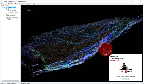
421 Terranum Coltop3D v1.8.4 Coltop3D is a software for geological analysis and analysis of 3D point clouds. It is designed for interactive analysis of geological structures at local and regional scale from photogrammetric, airborne and terrestrial LiDAR data and Digital Terrain Models. This software supports multiple applications and is particularly optimized for visualization and structural analysis in the following areas: structural geology; natural hazards; mines and quarries; civil engineering. Coltop3D can import any point cloud from LiDAR and photogrammetric data, as well as Digital Terrain Models. The software calculates the orientation of the geological structures for each point of the imported cloud. Coltop3D is a powerful support for calculating and highlighting different families of geological structures, thanks to its unique visualization and selection tools. The orientation
Ulasan Produk
- dari 0 ulasan
Masuk dan beli produk ini untuk memberi ulasan.
Belum ada ulasan. Jadilah yang pertama!